April 10, 2020
Reality capture refers to all of the associated technologies and services that we use to document and model existing buildings and infrastructure. Three major steps are required: (1) data collection; (2) registration; and (3) detailed modeling and analysis.
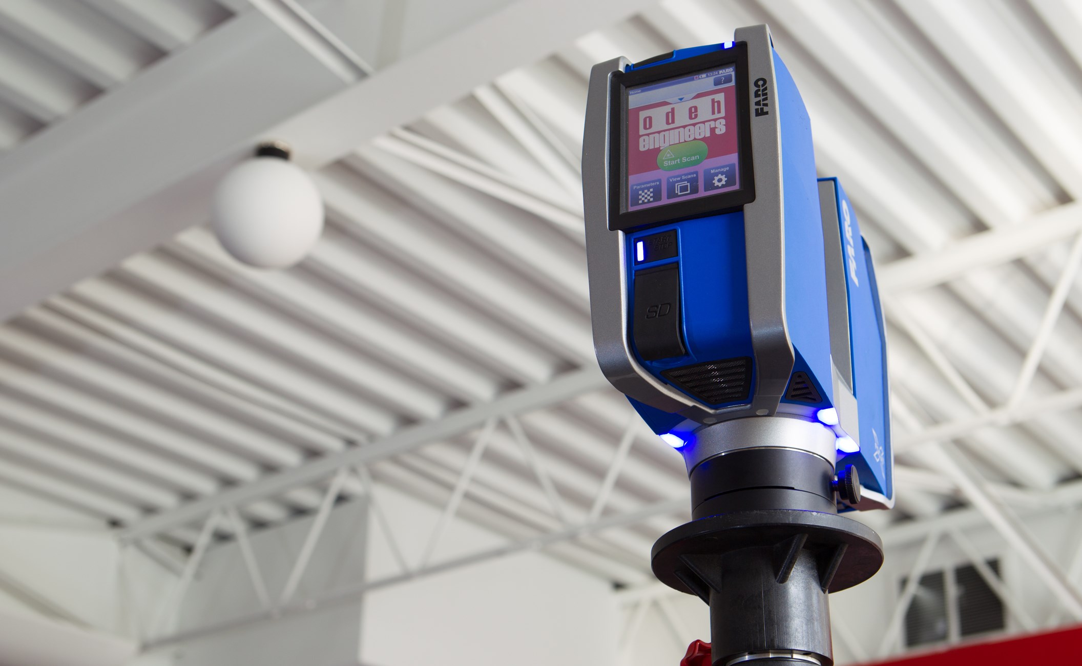
Data collection occurs in the field at the project site and can take many forms. Drone photography, laser scanners, and manual field measurements are all tools to collect this information. The most precise information can be collected using LIDAR, which measures distances using reflected light from a tripod mounted laser scanner. Each LIDAR scan creates a “point cloud”, a data file with millions of highly precise and (sometimes) colorized points in space. LIDAR scans must be taken at multiple locations – the scanner sees reflected light and cannot “see” through solid objects – and the multiple scans are later linked together in step (2), registration. During the second step, point cloud files are “registered” and linked together by aligning them to common coordinates, such as graphical targets that are placed in each scan or common objects that appear in the scans. Finally, the combined “registered” point clouds are linked to a BIM, such as Autodesk Revit, where they can be overlayed on top of parametric models of the building and analyzed.
Odeh uses reality capture for most of our existing building projects, including forensic evaluations of building damage and modeling of existing conditions for renovations. Because our engineers create the scans using our own equipment, we can provide rapid and accurate evaluations of existing conditions for our clients.