March 11, 2020
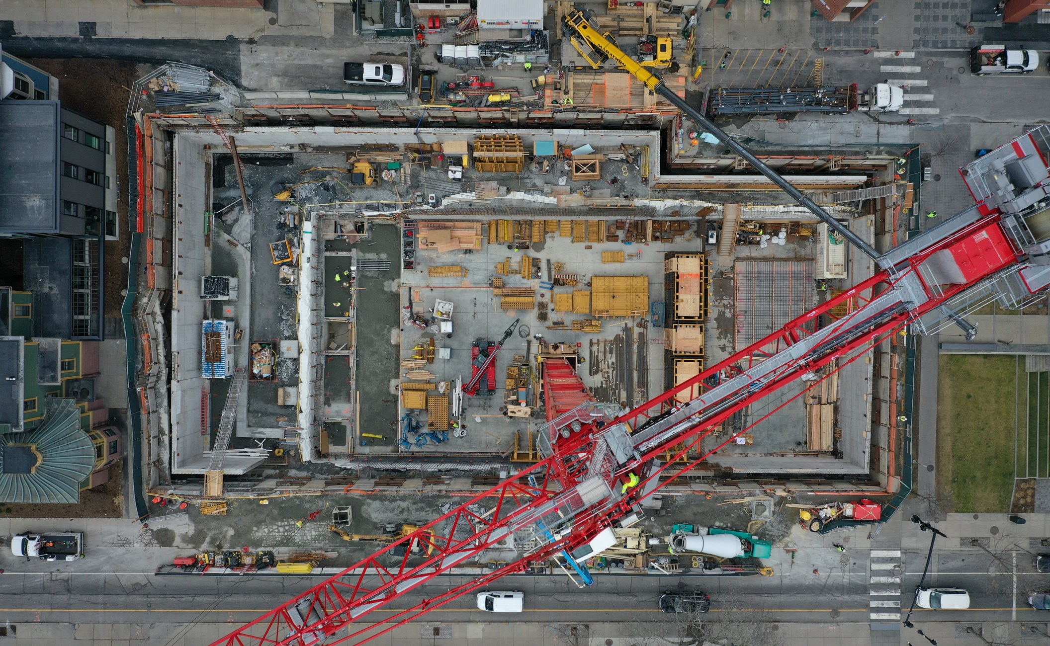
Over the last few years, we’ve invested in unmanned aerial vehicles (“drones”) to survey and monitor existing buildings and ongoing construction projects. Our team of FAA licensed pilots fly drones over sites using computerized, precision control systems. The drone captures thousands of high resolution photographs and video, which we later use to create detailed visual imagery and three dimensional point cloud models in BIM.
For example, we’ve used our drones to survey damage to a masonry façade on a high rise building in Boston; monitored construction of projects at key stages to document progress and write field observation reports; and even flown into an underground tunnel to assess it’s condition. Drone imagery provides us with a new and powerful perspective to perform forensic engineering, troubleshoot construction issues, and rapidly build models of existing buildings.
Drone based surveys have become especially critical during the COVID-19 pandemic, because our engineers can remotely survey sites while maintaining safe social distancing. We have shared drone imagery with our team members to allow ongoing construction observations while minimizing actual site visits.